
Shotover River history begins with the landscape
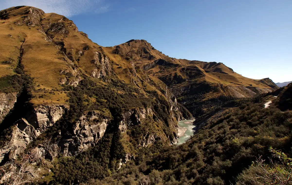
Shotover River history includes the older river name Kimiākau as well as the gold rush that transformed the canyon country. The river rises in the Richardson Mountains and flows into the Kawarau. Its incised valleys, river sediments and terraces formed the physical setting for gold extraction. Looking at that landscape makes the mining story easier to follow than treating it as a collection of isolated dates.
Māori Point is associated with Raniera Ellison and Hakaria Haeroa in the account of the gold discoveries. Their place in the story belongs alongside the European mining settlement, rather than as a decorative addition to it. A visit focused on historic landscapes can connect these names with the river itself, while the Skippers Canyon guide explains the organised excursion choices.
Gold discoveries in 1862 and the settlement
In November 1862, Thomas Arthur, a shepherd working for Rees, found gold on the Shotover at Arthurs Point. The wider Skippers gold rush also began in 1862. Mining involved river sediments and terraces, followed by work on quartz reefs. These different forms of extraction help explain why the surviving historical landscape reaches beyond a single riverside panning spot.
Skippers developed a post office, shops, an assembly hall and a school. That combination gives a sense of a working settlement, not simply a remote cluster of claims. Families and everyday services were part of canyon life. For the bridge and viewpoint nearer Queenstown, continue to Arthurs Point, where the local story links the initial discovery with the present-day river base.
Our pick: gold history
Gold panning and views of historic mining sites bring the river’s gold history into focus.
Hand-picked tours, booked through Viator. Prices are indicative starting prices in US dollars (as of October 2026). Tap a tour for live availability and the current price in your currency.
Gold panning and mining landscapes by 4WD
A four-hour outing combines Shotover gold panning, Māori Point mining views, a driver-guide and light refreshments.
A guided look at mining country
The four-hour 4WD excursion linked here combines gold panning on the Shotover with views of historic mining sites from Māori Point. It includes a driver-guide, 4WD transport and light refreshments: tea, coffee, hot chocolate, fruit cake and cookies. The stated meeting point is 37 Shotover Street in Queenstown; central accommodation pickup may be possible by arrangement.
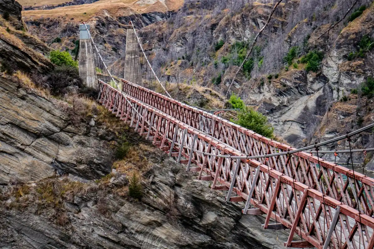
The itinerary also lists viewing the Skippers Suspension Bridge. Treat that as a view of a historic feature, not a promised crossing or access beyond it. Confirm the operating route for your day with the guide. This is a history-focused excursion with a practical panning element; the filming-location guide serves a different interest and keeps its product routes separate. On 22 January 2026, QLDC announced that Skippers Bridge was closed to vehicles, bicycles and pedestrians. No reopening date was given. Check the current status with QLDC before visiting.
School life and industrial electricity at Bullendale
The Upper Shotover Public School, also known as Skippers Point School, operated from 1879 to 1927. Restoration took place between 1989 and 1992, and the building interprets school and mining history. Its significance is the evidence of an established community in the canyon. The dates describe that history, rather than setting an opening calendar or promising access for a present-day visit.
Bullendale adds an industrial strand to the story. In 1886, electricity was used for the mining stamping plant in what is described as New Zealand’s first industrial use of electricity. Gold extraction here was therefore not limited to a pan in a stream. Mechanical processing and power form another layer of the mining landscape. Keep this historical context distinct from a suggested walking route to industrial remains.
Gold panning today: mapped boundaries matter
The administrative guidance available in November 2026 identifies the Shotover public gold-fossicking area as GFA 23, permit number 42023. Recreational searching without a mining permit applies within the designated NZPAM map boundaries, rather than along the entire river. Use non-motorised hand tools and remain in the active riverbed. A tour stop, a roadside view and the mapped fossicking area are different things.
Restore disturbed ground, protect plants and animals, and leave cultural sites and historic material undisturbed. Crossing private land requires permission. Outside designated fossicking areas, NZPAM permission may be required, with an additional DOC permit potentially needed on conservation land. Read the Skippers Road access guide before planning an independent approach; permission to search for gold does not settle the separate journey to the river.
Frequently asked questions
When did the Shotover gold rush begin?
Gold discoveries in 1862 underpin the rush. Thomas Arthur found gold at Arthurs Point in November of that year, while Māori Point’s story includes Raniera Ellison and Hakaria Haeroa.
Can I pan for gold anywhere on the river?
Use the designated GFA 23 boundaries and the applicable hand-tool rules. The public fossicking area does not extend permission to the entire river, private access routes or protected historic sites.
Does the history excursion cross Skippers Bridge?
The listed experience includes viewing the bridge. Confirm the route being operated for your date and plan around the historic landscape and panning activity, rather than requiring a bridge crossing. On 22 January 2026, QLDC announced that Skippers Bridge was closed to vehicles, bicycles and pedestrians. No reopening date was given. Check the current status with QLDC before visiting.