
Where Skippers Road leads
Skippers Road is the unsealed approach to the upper Shotover landscape, reached from Queenstown via Gorge Road, Arthurs Point and Coronet Peak Road. The turn into the canyon leads away from ordinary town driving and into a narrow road cut into steep terrain. Gravel, bends and exposed drops are central to the decision about how to visit, rather than small details to leave until arrival.
The geographical description runs from Skippers Saddle towards Skippers Bridge, about 13 km away. Treat that as orientation, not a promise that the entire road or the bridge is available on a particular day. Start with the wider Skippers Canyon guide if you are choosing a landscape excursion; this page addresses the access decision behind it.
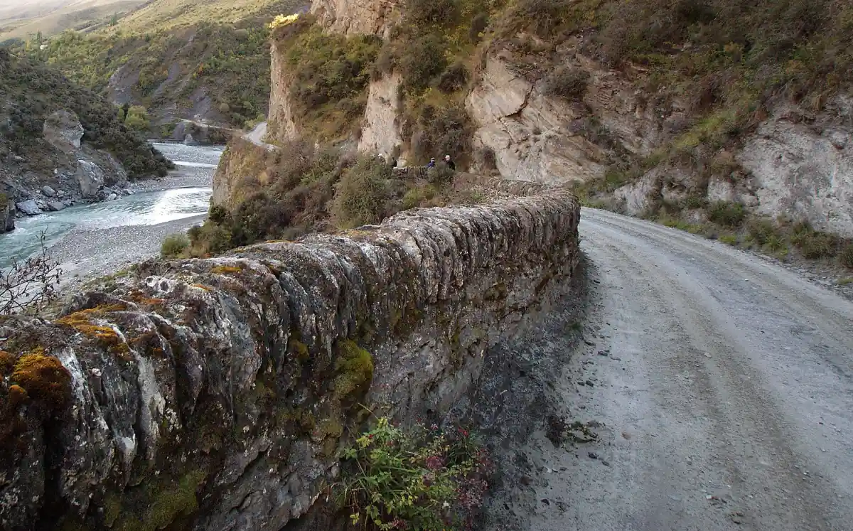
Gravel, bends and rental conditions
The road is narrow and winding, with steep drops beside sections of the gravel surface. It calls for experienced driving. A vehicle that feels comfortable on Queenstown streets does not resolve the demands of the canyon approach. Leave the driving to a guided excursion if you want to concentrate on the landscape rather than judge an unfamiliar exposed road.
For a rental vehicle, read the current contract for named road exclusions and the conditions of cover. A general description of rental restrictions is not a universal legal ban, and permission to hire a car is not permission to take it onto every road. Keep ordinary airport or town car hire separate from your plan for Skippers Road. The arrival guide explains regular transport around Queenstown.
Our pick: Skippers Road
A guided canyon drive with accommodation pickup offers an organised way to explore the road.
Hand-picked tours, booked through Viator. Prices are indicative starting prices in US dollars (as of October 2026). Tap a tour for live availability and the current price in your currency.
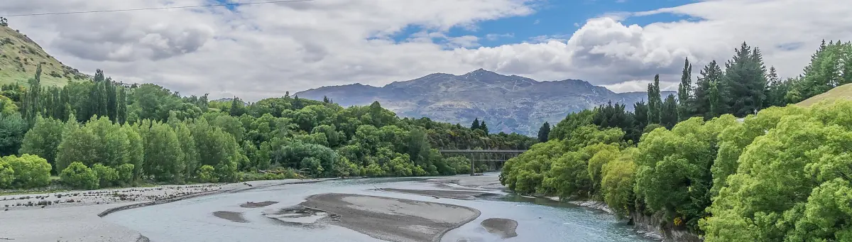
Guided access to Skippers Canyon
A four-hour 4WD excursion with local guide, hotel pickup and refreshments offers an organised alternative to driving the canyon road yourself.
A guided alternative from Queenstown
The four-hour guided 4WD outing linked here includes a local guide, an air-conditioned vehicle, hotel pickup and drop-off, plus homemade cheese with crackers and refreshments. It suits a visitor who wants a canyon excursion without taking responsibility for driving a rental vehicle on this road. Arrange the pickup address and the route being operated for your date with the tour team.
This is an organised outing, not a public shuttle that gives independent access to every historic site. Keep the actual itinerary at the centre of your choice. If your main interest is photographic instruction rather than a shared drive, compare the separate private photography and 4WD tours, whose routes and included services differ.
Road access and bridge access are separate
Check current local-road information with QLDC before setting out, and confirm the available canyon route with your guide. Use current road information for this decision, rather than a saleable tour, an old walking description or a photograph of a vehicle on a bridge. Equally, a restriction affecting a bridge should not be expanded into an assertion about the whole road. On 22 January 2026, QLDC announced that Skippers Bridge was closed to vehicles, bicycles and pedestrians. No reopening date was given. Check the current status with QLDC before visiting.
Avoid planning a compulsory crossing of Skippers Bridge or making the school and cemetery fixed points in an independent itinerary. These places belong to the history of the canyon, but a historical description is different from a current access instruction. There is also no useful single driving time to build a tight onward connection around. Keep the canyon excursion separate from a closely timed airport departure. On 22 January 2026, QLDC announced that Skippers Bridge was closed to vehicles, bicycles and pedestrians. No reopening date was given. Check the current status with QLDC before visiting.
The landscape beyond the driving question
The canyon contains gold-mining terraces and the remains of a settlement that once had shops, a post office, a hall and a school. Read the Shotover gold-rush history to understand what shaped this landscape. The setting is part of Mount Aurum Recreation Reserve, rather than a national park with a single entrance and a uniform visitor circuit.
Leave historic materials where they are, avoid disturbing plants and animals, and keep vehicles and bicycles on existing tracks to protect mining remains. Do not feed kea. Gold fossicking has its own mapped boundaries and hand-tool rules; a roadside stop does not create permission to prospect. A guided visit is useful for interpreting the valley, while access and conservation rules still govern what can be done there.
Frequently asked questions
Can I take a rental car on Skippers Road?
Read the current rental contract for road exclusions and cover, and check the road status separately. Choose an organised outing when you want to visit without making the canyon drive yourself.
Does a canyon tour include crossing Skippers Bridge?
Confirm the operating route for your date. Plan around the excursion’s available stops rather than treating a bridge crossing or access to the school as an essential included stop. On 22 January 2026, QLDC announced that Skippers Bridge was closed to vehicles, bicycles and pedestrians. No reopening date was given. Check the current status with QLDC before visiting.
Is Arthurs Point the same as Skippers Canyon?
Arthurs Point is a separate activity base on the Shotover, near the Edith Cavell Bridge. A visit there and a journey along Skippers Road involve different destinations and transport arrangements.